Other Weather Links
| Unisys Weather is one of the best sources for weather graphics. adds - Aviation Digital Data Service, NOAA, the winds forecast is an especially good resource as well as the forecast cloud cover and Satellite animations. Weather A user submitted list of sites. WeatherBank Offers custom forecasting for a charge and other services free. Winds and Temperatures Aloft National Weather Service Buckeye Wx - Ohio State University. FSU - Florida State University - weather data Plymouth State College WWW Virtual Library - University Weather Servers Weather Calculator1 Weather Calculator 2 Unit conversions and other related stuff. Clouds and Storms NOAA "It isn't pollution that's harming the environment. It's the impurities in our air and water that are doing it." Dan Quayle. |
Northern Illinois / Southern
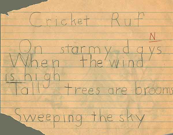
Wisconsin Soaring Weather Soarcast from Kilo Delta Software, I am very pleased with my test, and encourage you to try it as well. This software can use a variety of sources for soundings, including Forecast soundings from FSL. instraob.exe 15 June 98.[this version is out of date and we await and update] Raob plotting program for Microsoft Windows, Version 1.05 by: Jim Bobo (321 kbytes) FREE Download - however you must pull your data from WeatherBank. www.raob.com sells a Rawinsonde & Radiosonde SkewT Analysis Program, seems good, but I have not used it myself yet, hope to soon. Interestingly I have been told that it is now capable of prediciting Mountain Wave lift too. A weather related poem that
I wrote some years ago. |